


Trimble Penmap
Powerful app for field survey and high accuracy GIS data collection
The Trimble Penmap application is a powerful, yet incredibly straightforward, cloud-connected application for cadastral field surveying and high-accuracy GIS data collection. Penmap is designed to provide both professional surveyors and field workers with a reliable and complete data collection application.
Penmap is cloud-connected software for collecting high-precision surveying and GIS data. Whether your operating system is Windows or Android, Penmap provides professionals with a reliable and comprehensive data collection application.
- Penmap offers GIS and surveying capabilities to cover all surveying applications.
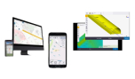
- Penmap is designed with a visual, intuitive, easy-to-use map-based format for importing and managing features.
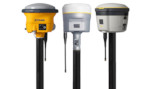
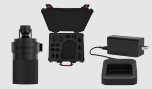
- Penmap fully supports RTK, VRS, RTX applications and the Trimble Catalyst service
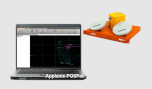
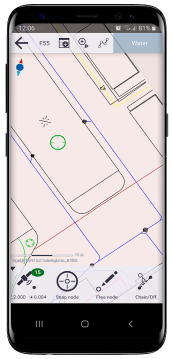
Penmap for Android:
Penmap for Android supports the full range of functions, keeping it focused and efficient – perfect for the application you need.
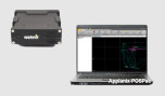
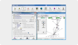
Penmap for Windows:
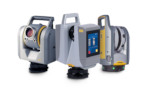
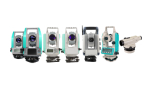
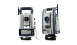
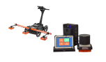
Penmap for Windows provides enhanced capabilities for performing more technical, detail-oriented tasks where both GNSS receivers and optical instruments are required for high accuracy.
Contact us for all available solutions regarding Trimble Penmap at 210 8023917 or via email at [email protected].
Features for Android
- Basic surveying functions and high precision GIS data collection.
- Modern design using your own Android device
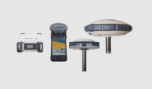
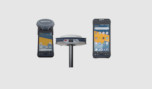
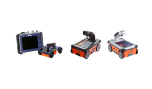
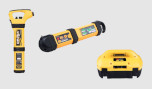
- For greater accuracy, it supports an on-demand Trimble Catalyst software-based GNSS receiver.
- Compatible system with existing Trimble GNSS R-Series receivers
Features for Windows
- Real-time data processing and verification
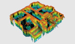
- 3D topography
- Direct recording of data from geodetic stations and GPS
- Sophisticated editing tools
- Layout and design
- Area calculation and measurement calculations
- Download photos and drawings
- Parameterization of point and code numbering