


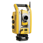
Trimble X9 Core & Premium
The power to do more.
The Trimble® X9 3D laser scanning system by Trimble is built with proven Trimble laser scanning technologies, offering the range, accuracy, scan times and sensitivity you need to do more, better, and faster.
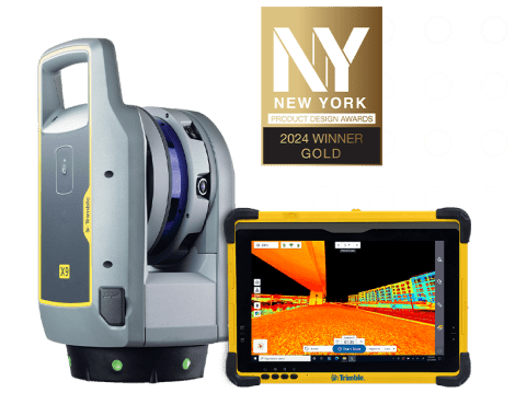
Versatile, advanced scanning and imaging you can depend on. The X9 Core & Premium are versatile reality capture solutions for surveying, building construction, oil and gas, rail, forensics, monitoring, tunneling, mining and more.
Reality capture in more places:
High-sensitivity scanning for dark and reflective surfaces to optimize data capture and scan coverage even at long range and high speed.
Proven innovations and simple workflows:
Automatic calibration, self-leveling and Trimble Perspective software ensure scanner performance, easy setup and comprehensive in-field registration workflows.
Trimble’s most versatile laser scanner, offering intermediate range, high accuracy and short scan times with higher sensitivity for peak performance. Trimble X9 the versatile, advanced scanning and imaging you can depend on, offers:
- Scan speed:
Up to 1000 kHz - Scan range:
0.6 m to 150 m - Scan times:
< 1 min to 6 min - Auto-calibration:
No targets or user interaction for accuracy on every scan - Self-leveling:
<3″ with tilt compensation range of ±10° - Environmental protection:
IP55 - Operating temperature:
-20°C to +50°C - Ease of use:
Intuitive Trimble Perspective workflows
Dependability
- Self calibrating for dependable data every scan.
- Survey grade self leveling for fast, easy setup.
- IP55 environmental protection against dust and water.
- Wide operating temperature range to keep you working all year long.
Performance
- Fast scan times of less than 1 minute can be reached for fast project completion.
- 150 m range to put more projects within reach.
- High accuracy and low range noise point cloud data for detailed digital twins.
Versatility
- High speed scanning up to 1 million pts/s.
- Better range, angular accuracy and data quality to support a wider range of applications.
- Enhanced sensitivity for standard scans to capture difficult dark or shiny surfaces.
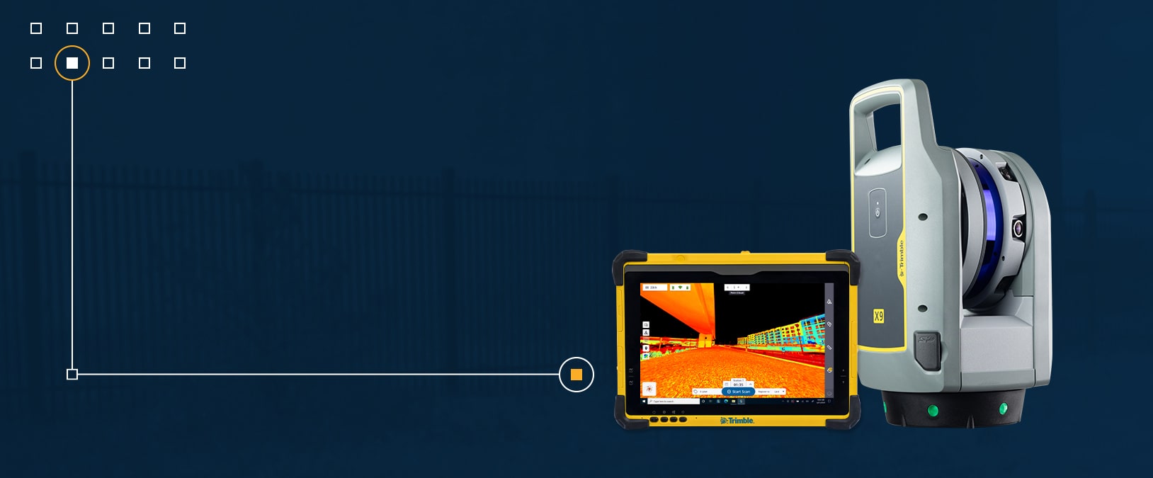
- Flexible operation with tablet, phone, or one-button workflow.
Trimble Perspective Software
- In-field registration.
- In-field 3D data visualization.
- Georeferencing with laser pointer and precision point.
- Area scan for higher density on critical areas.
Features
Below, you will find the main features of the product.
Trusted technological innovations
Field-proven automatic calibration and self-leveling ensure easy setup and accurate data to guarantee consistent results, plus a laser pointer for georeferencing.
Complete scanning solution
With Trimble Business Center or RealWorks™ software leverage advanced application specific tools for registration, scan analysis and design to enhance final deliverables.
Varied Applications
Trimble transforms data into real-world intelligence using the most progressive, reliable and accurate precision technology to meet needs of varied applications.
Flexible performance and workflows
The speed, range, accuracy, sensitivity and environmental capability to scan with confidence in challenging conditions using tablet, phone or hands-free workflows.
Intuitive & powerful
Trimble Perspective provides unparalleled clarity in the field with automatic scan registration and full 3D visibility to validate data in real time.
The future of your work
Trimble facilitates high quality, productive workflows and data exchange, driving value for a global, diverse user base.
Applications
Discover the applications in which the product can be used.
Civil Infrastructure
Cultural Heritage
Topographic/General Surveys
Ship Building Surveys
Multimedia
Below you will find all available multimedia, including videos & images.
Related Products
See related products from this manufacturer
Get a Quote
You can fill out the contact form below and one of our representatives will contact you shortly.
