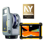
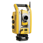
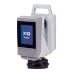
Trimble SX12
Engineered for every day.
By combining innovative technology with intuitive functionality the Trimble® SX12 scanning total station by Trimble, saves time and maximizes efficiency.
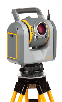
Collect, process and deliver data with fully integrated field and office software workflows. The SX12 collects high-quality, high-speed scan data, providing detailed site context in a seamless workflow that enables informed and faster project-based decisions.
High accuracy, high quality:
The Trimble SX12 total station achieves 1” angular accuracy. This high accuracy is combined with our most precise EDM that produces extremely clean point clouds, saving you time cleaning the data later.
Vivid, eye-safe laser pointer:
Aim, measure and mark effortlessly with a vivid green laser pointer with the smallest point size in the industry, just 3 mm at 50 m, that’s still eye safe.
The combination of a high-accuracy total station and surgically precise scanner lets you save time by capturing detail in key areas, without ever sacrificing accuracy. Trimble SX12 the high-accuracy total station with high-precision scanning capabilities, offers:
- Angular accuracy:
1″ - EDM accuracy:
1.0 mm + 1.5 ppm Prism / 2.0 mm + 1.5 ppm DR - EDM laser spot diameter:
14 mm at 100 m - Scan speed:
26,600 points per second, 600 m away - Scan range noise:
1.5 mm at 200 m - Vivid, eye-safe laser pointer:
3 mm diameter spot at 50 m
Features
Below, you will find the main features of the product.
Field-friendly workflows
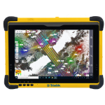
Easily collect and check data quality and accuracy with Trimble Access™ software, whether checking your backsight, or doing a live surface inspection against an IFC model.
Office software
Process data and create reports with Trimble Business Center or Trimble RealWorks™ office software for more advanced scan processing.
Varied Applications
Trimble transforms data into real-world intelligence using the most progressive, reliable and accurate precision technology to meet needs of varied applications.
Simple navigation & documentation
Trimble VISION™ camera system includes three integrated and calibrated cameras in the telescope for simple navigation and documentation.
Built with Trimble MagDrive
Turn-to points silently, quickly, and precisely with Trimble MagDrive™ technology.
The future of your work
Trimble facilitates high quality, productive workflows and data exchange, driving value for a global, diverse user base.
Applications
Discover the applications in which the product can be used.
Boundary and Land Title Surveys
Topo, Stakeout, and Surface Inspection
Underground Mine Survey
Roadway/Corridor Surveys
Civil Infrastructure As-Builts
Multimedia
Below you will find all available multimedia, including videos & images.
Related Products
See related products from this manufacturer
Get a Quote
You can fill out the contact form below and one of our representatives will contact you shortly.


