


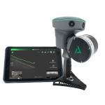
Drone LIDAR + Photogrammetry Mapping Sensors
Leaders in LiDAR mapping hardware & software since 2003, GeoCue works with the industry’s leading companies to deploy and build scalable LiDAR and drone mapping software and hardware.
GeoCue was founded in 2003 in Huntsville, Alabama. They offer software, hardware, training, support, and consulting services for LIDAR and drone mapping to help users achieve successful data collection, processing, and management.
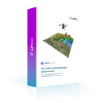
In 2009 GeoCue acquired QCoherent, who were the founders of the LP360 software, which is now developed in-house at GeoCue and is the core software used for their LiDAR technology.
Originally designed for manned-aircraft LiDAR, LP360 is now more versatile than ever with options including LP360 Drone and LP360 Geospatial to ensure you maximize your airborne/mobile LiDAR data and provide you with the most powerful tools for LiDAR and photogrammetric point cloud processing.
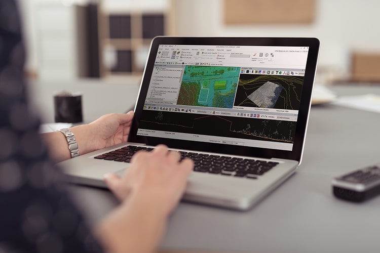
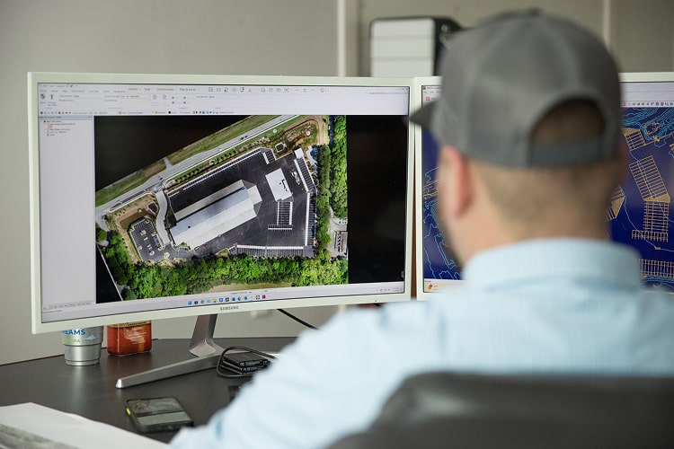
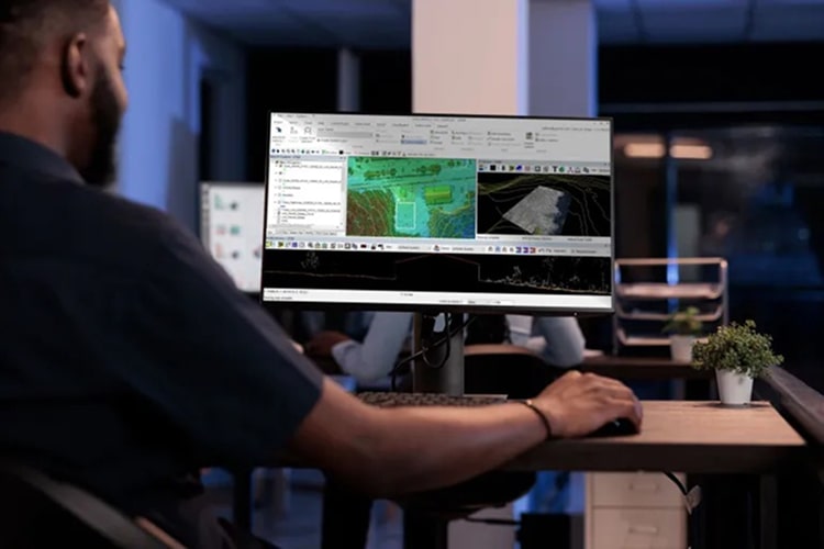
Trusted by professionals worldwide, LP360 has become the standard for processing LIDAR data (especially QC) in well recognized agencies including the USGS, the USACE, the USDA, Forest Service, and many other reputable organizations. LP360 is the desktop LIDAR tool against which all others are judged.
GeoCue Support
Product Categories
Below you will find product categories available from this manufacturer.