Topography
Cartographic Identification
Topography is the science concerned with the description and mapping of terrain, the earth’s surface and its natural features, such as hills, riverbeds, forests and lakes.
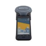
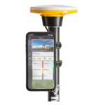
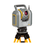
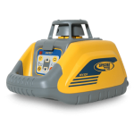
Surveying is usually carried out using specialized equipment, such as theodolites, GPS geodesics and lasers, in order to produce accurate maps and models of the terrain.
This information is useful in many fields such as urban planning, land surveying for building construction, natural resource management and land use planning.
Products
View all related products to this application.
Contact Form
You can fill out the contact form below and one of our representatives will contact you shortly.


