


Elios 3 Surveying Payload
Surveying the inaccessible
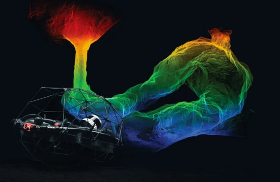
Safely create centimeter-accurate surveys of hard-to-reach areas with the Elios 3 Surveying Payload by Flyability, the next revolution in 3D data acquisition.
Complete data is the key to supporting business decisions. However, many hazardous environments are beyond the reach of existing data collection technologies.
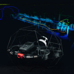
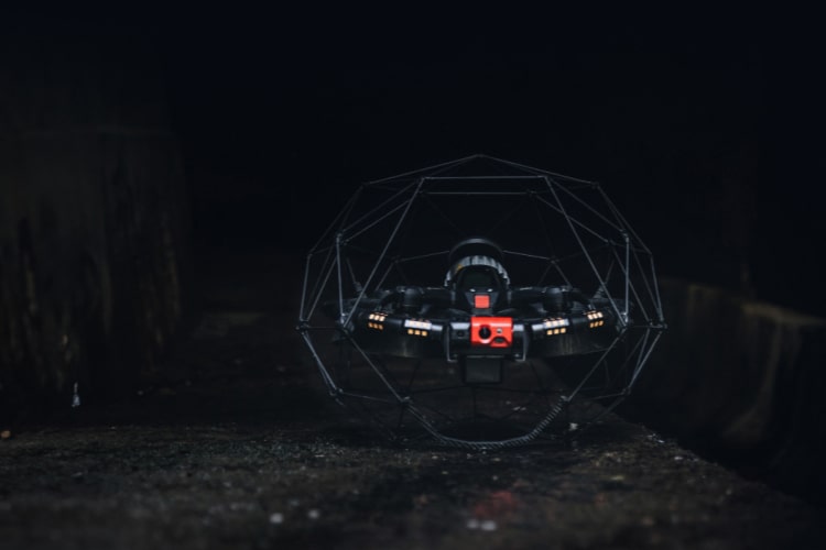
Flyability’s Surveying Payload turns the Elios 3 into a flying mobile scanner that can fit through openings as small as 50×50 cm and produce high-resolution scans, allowing industry professionals to quickly provide information unreachable with traditional tools or other UAV technologies.
The high-resolution Ouster OS0-128 Rev 7 LiDAR sensor combined with the world-leading FARO Connect SLAM algorithm create incredibly accurate 3D maps and digital twins of the most inaccessible places with centimeter accuracy – for precise measurements and more information.
New mapping features
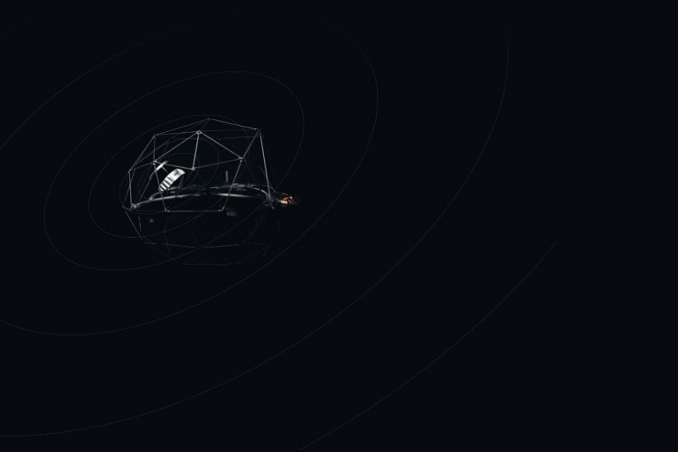
- Powered by Ouster REV 7’s latest supercharged L3 chip, the Elios 3 has the ability to capture points farther away and detect more user-friendly optical features. This maximizes the convergence probability of the SLAM algorithm when computing 3D models of cylindrical and symmetric environments such as collectors, chimneys or underground galleries.
Stunning point captures
- Capture rich, detailed highlights of the most complex interiors, operating from a secure location. With Elios 3’s Surveying Payload you can effortlessly create complete visual representations of difficult interiors, enabling accurate mapping and analysis.
Accuracy 1σ: +/- 6mm, Accuracy 2σ: +/- 12mm, Photosensitivity: 10 x
Increased mapping efficiency
- For all applications where centimeter accuracy matters, mobile scanning is far more efficient than traditional methods such as total stations or ground scanners. With a range of 100 meters, a point density of 1,310,720 pts/sec and the ability to cover 300 meters of tunnel (closed loop) in one flight, the Elios 3 Surveying Payload can turn days of mapping into a 10-minute job.
Range: Up to 100 m, Scan rate: 1.3 M pts / sec
Scanning beyond safe access
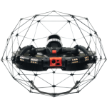
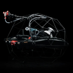
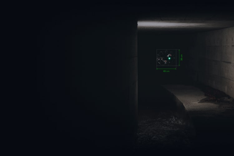
- With its small form factor, the Elios 3 and Surveying Payload can fit through openings as small as 50×50 cm. It features a stable cage that physically protects the hardware and a combination of flight controller and motor design that allows the drone to regain flight stability after a crash. This allows the drone to navigate the most complex environments to capture high-resolution scans where no other technology can.
A set of reflective targets
- Perfectly sized for FARO Connect to automatically detect in the SLAM registration workflow.
An in-depth training course
- Covering everything from best flight practices to processing and registration.
Features
Below, you will find the main features of the product.
Point cloud filtering
Refine Elios 3 3D models with various filters including outlier removal, surface noise reduction, and removal of unwanted points.
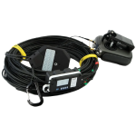
Hardware
The surveying payload comes as a package with the Elios 3 drone or as a standalone payload for existing Elios 3 users.
FARO Connect
This software is meant to ease the processing and management of Elios 3's LiDAR data.
Easy export
Output the processed point cloud data to your required file type: LAZ, LAS, PLY, TXT, and E57.
Georeferencing
Automatically georeference point clouds using reflective targets.
Data alignment
Combine multiple point clouds to produce one single scan using reflective targets.
Related Products
See related products from this manufacturer
Get a Quote
You can fill out the contact form below and one of our representatives will contact you shortly.
