DelSurvey
Topographical and photogrammetric - photointerpretive work
The topographical program DelSurvey Professional is a topographical software that has a multitude of applications and tools necessary for any topographical and photogrammetric-photointerpretive work.
DelSurvey is a suite of surveying programs essential for any surveying engineer. It has been designed to be easy to use and learn, with no special software experience required, making DelSurvey one of the best surveying programs out there.
Surveying software suite essential for any surveying engineer. DelSurvey is an easy-to-use, ergonomically designed program whose every application, through its friendly menus, is directly accessible. Each step of the procedures is provided with corresponding detailed help on its operation. The DelSurveyCad application works with Autocad, ZWCAD and GstarCAD design software which most Engineers trust to draft their plans.
The program’s more than 20-year presence in the field of topographical and photogrammetric-photointerpretive applications has shaped the surveying program DelSurvey in a way that facilitates its use and learning, without requiring special experience in similar software, ranking DelSurvey one of the better surveying programs.
What makes DelSurvey different from any other surveying software?
- Creation – design – composition – control of diagrams (topographically registrable deeds, geometric changes) for submission to the cadastral database.
- Transformation of coordinates from EGSA ΄87 to a geocentric system and vice versa (use for placing photovoltaic parks).
- Import polygon from posted forest map. DelSurvey has the ability to import polygon points and create closed polygons with terrain characterization provided by the uploaded forest map.
- Tools for digitizing a new diagram or converting old drawings into a format suitable for submission to the cadastral database. Ability to create dxf & pdf file and hash code for digital signature.
- Airplane and UAV flight planning. Introduction to image center design and aerial coverage contours.
- Creating a surface with the TIN or Grid method and designing contour lines using soft breaklines and hard breaklines.
DelSurvey CALC Basic Standalone version Computing – Solution software that supports:
- Measurements pre-check – solve – post-solve check
- Tachymetric point resolution
- Solving points from fixed points
- Multiple back and frontostomy
- Angle measurements
Additional articles in DelSurvey CALC basic edition:
- Transformations:
Additional routines and modules in the Basic version, supports:- Similarity transformations
- 2nd degree affine transformation
- 7-parametric transformation
- Corrections:
Additional routines and modules in the Basic version, supports:- Horizontal and vertical network corrections
- Correction of GPS observations
- Multiple posterior repair
- Free horizontal and elevation network correction for tracking micromovements
DelSurveyCAD Version add-on (Add-On) to CAD software. Supports AutoCAD, ZwCAD & GstarCAD. Add-on software to specific CAD designs, supports:
- The entire DelSurveyCALC
- Import – manage points
- Create – manage surfaces
- Dotted – linear symbols and legend
- Electronic submission of diagrams to the Land Registry
- Canvas creation
- Creation of elements such as Coordinate Tables, statements, etc.
- Distributions
- Engravings
- Mid-sections
- Volumetric measurements
- Applications of rhyotomy
- Import and georeference raster images
Multimedia
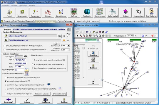
Below you will find all available multimedia, including videos & images.
Related Products
See related products from this manufacturer


Get a Quote
You can fill out the contact form below and one of our representatives will contact you shortly.