
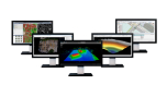


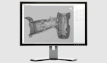

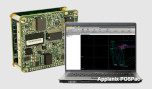
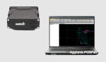
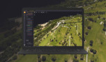


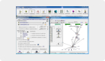


Trimble RealWorks
Automated, point cloud workflows—fast.
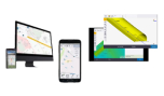
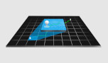
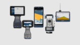
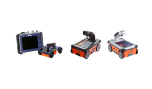
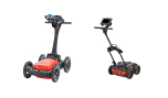
Import point cloud data from virtually any source, then quickly process, analyze and create high-quality deliverables with Trimble® RealWorks ™ software’s automated tools and point cloud-specific workflows.
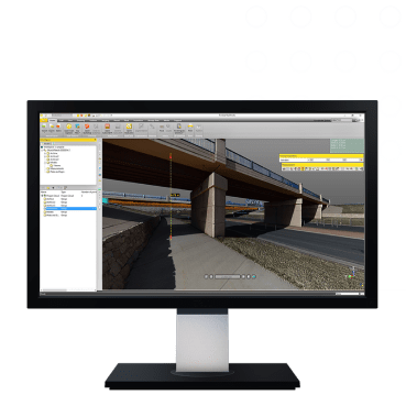
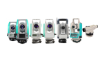
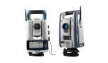
The Trimble RealWorks office software is a complete proposal and is aimed at engineers who use point clouds as raw data from 3D laser scanners and the Trimble SX10 geodetic station. Trimble RealWorks offers visualization, management and orientation of the collected data. It offers a multitude of tools and functions for rendering architecture, monuments, archaeological sites, forensic sites, industrial footprints and other applications.
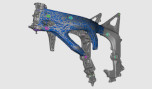
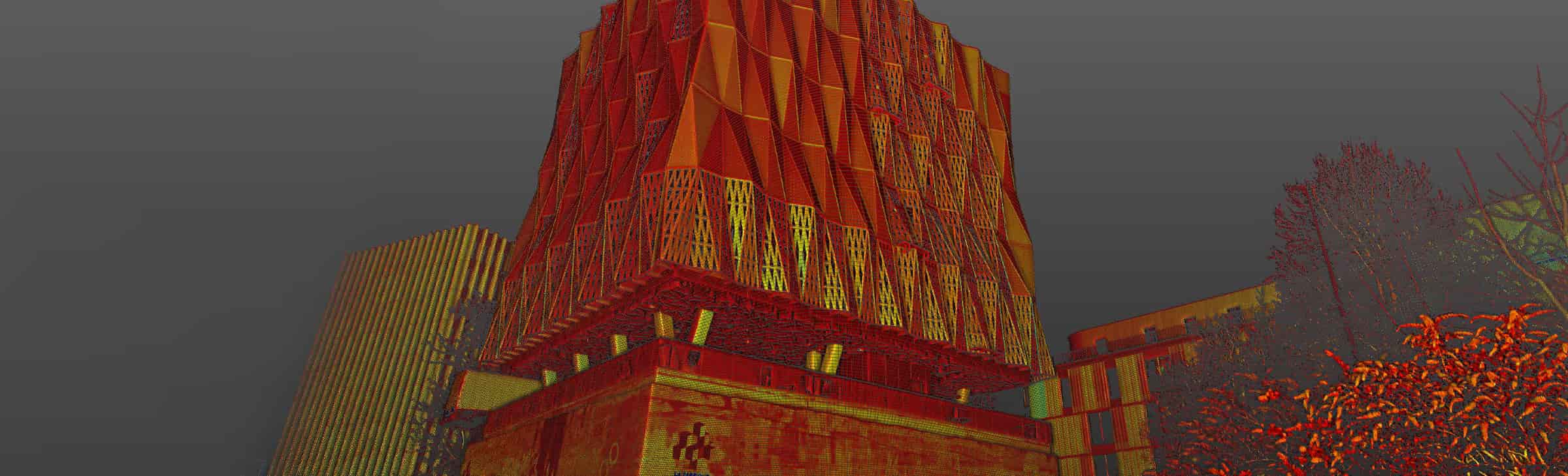
It allows the merging, orientation and georeferencing of independent point clouds measured from one or more scanner positions. It offers tools for processing the point cloud to either render the actual texture of the object or render its geometric features with high accuracy.
It has the ability to create multiple correct views of the scan object using internal or external camera photos. In the case of using an external camera, the tools to orient the photo in the point cloud are also provided.
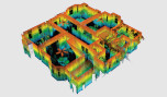
It has tools for calculating iso-heights, along sections or cross-sections, volumes, etc. and more general tools for the complete control and rendering of the scanned object.
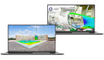
It also allows engineers to create 2D and 3D deliverables compatible with AutoCAD®, MicroStation® and other popular design packages.
Enhanced scanning workflows
- Enhance the efficiency and streamline the experience of your scanning workflows.
Designed for point cloud processing and analysis
- Get a clear picture of the real world
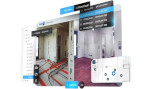
- Efficiently register, analyze and model point cloud data to create high-quality deliverables from virtually any source.
- Explore as-built data quickly & easily
- Manage, process, manipulate and analyze 3D point cloud datasets by utilizing automated tools and workflows to meet your scanning needs.
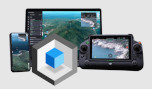
Licensing on your terms
- With lower upfront costs, our subscription plans allow you to use and scale your licenses flexibly while you benefit from the latest updates.
Features
- Specifically designed: Point cloud processing & analysis
- Complete solution: Register, analyze, model & create
- Create deliverables: With data from any source
- Automated tools: Registration & point cloud cleanup
- Tools & workflows: Made for point cloud processing
- For any project: Access all the processing tools
Features at a glance
Efficient point cloud tools
Leverage surface creation and editing, volume calculation, and orthophoto generation for basic point cloud registration, navigation and viewing.
Deep processing & analysis
Deploy automated object classification, 3D inspection tools and automatic registration for target and target-less projects.
Modeling speciality tools
Add models to point clouds with fitting, extraction and editing of shapes. Utilize tools for modeling plant objects.
Inspection & calibration
Use highly automated tools for storage tank inspection and calibration to easily create reports from scanning data.
