
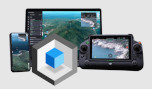


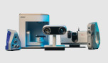

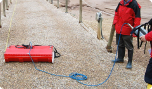
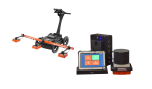
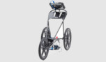
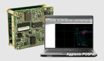
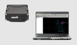
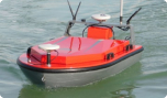
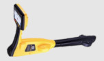
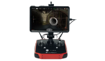

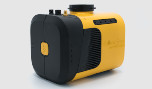

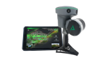


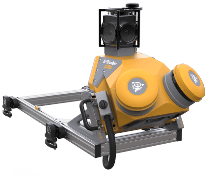
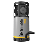
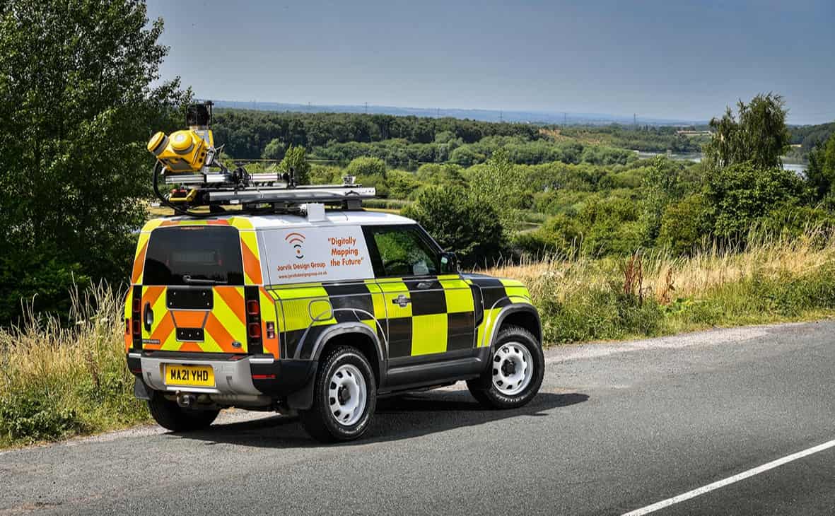
Trimble MX50
Πάρτε την παραγωγικότητα στο δρόμο.
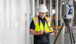
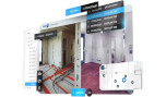
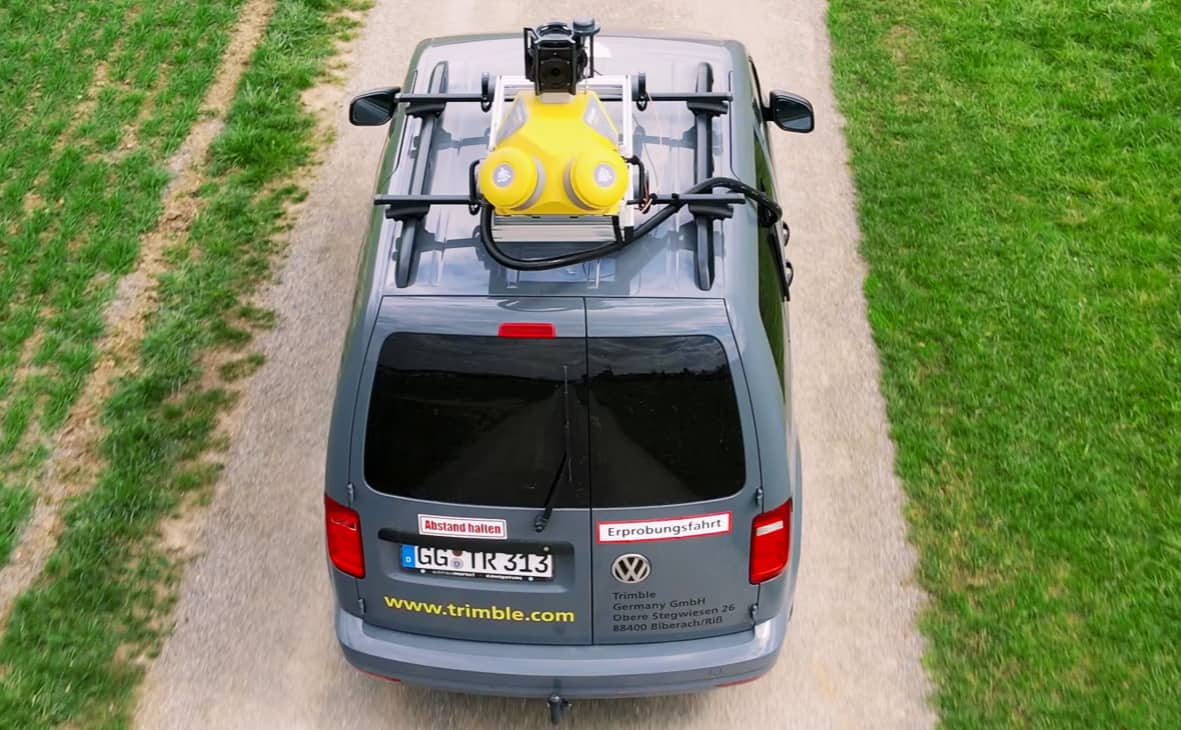
Το Trimble® MX50 mobile mapping σύστημα της Trimble, παρέχει ακριβή νέφη σημείων με καθηλωτικές εικόνες για εύκολη διαχείριση, χαρτογράφηση και συντήρηση περιουσιακών στοιχείων.
Περικόψτε τον χρόνο εργασίας αξιοποιώντας τη δύναμη των πλούσιων, αξιόπιστων δεδομένων που ελέγχετε. Είτε είστε νέος είτε έμπειρος επαγγελματίας χαρτογράφησης κινητών τηλεφώνων, ετοιμαστείτε να βιώσετε σημαντικά κέρδη παραγωγικότητας με το Trimble MX50.
Πάρτε τον έλεγχο των έργων συλλογής δεδομένων σας:
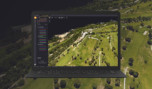
Συλλαμβάνετε, επεξεργάζεστε, εξάγετε και μοιράζεστε δεδομένα χωρίς κόπο με δοκιμασμένες ροές εργασίας από το πεδίο μέχρι το τέλος για χαρτογράφηση περιουσιακών στοιχείων και διαχείριση δεδομένων περιουσιακών στοιχείων.
Εξαιρετικά παραγωγικό, αλλά απλό στη χρήση:
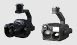
Το Trimble MX50, αξιοποιώντας την υπερσύγχρονη τεχνολογία LiDAR της Trimble, παρέχει ακριβή δεδομένα μαζί με εντυπωσιακές εικόνες και αποτελεσματικές ροές εργασίας που απαιτούνται για σημαντική αύξηση της παραγωγικότητας.
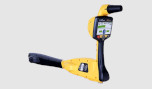
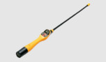
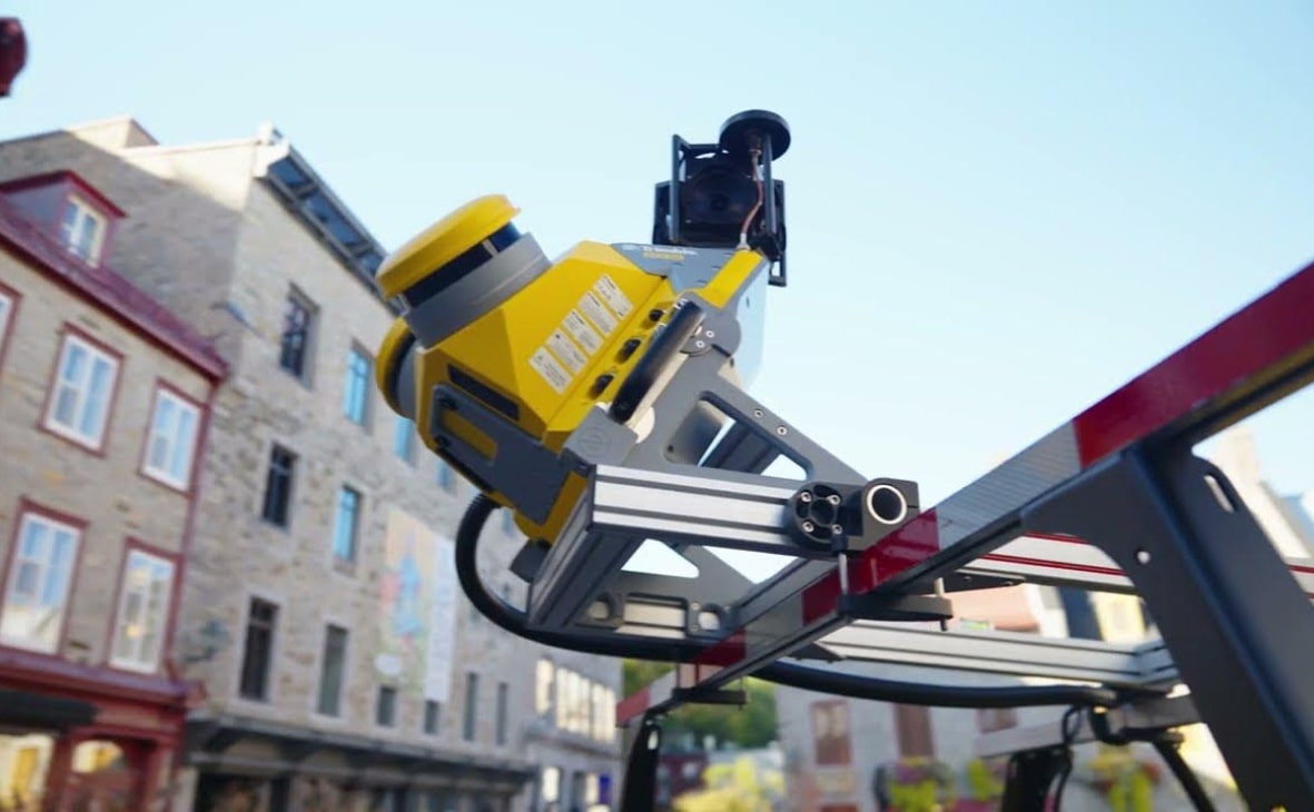
Τροφοδοτούμενο από σύστημα λέιζερ ακριβείας Trimble και πανοραμική κάμερα 360 μοιρών, το MX50 χειρίζεται τις ροές δεδομένων απρόσκοπτα, με κορυφαία ταχύτητα, με υψηλή ακρίβεια. Το Trimble MX50 με φορητή σάρωση και απεικόνιση για διαχείριση περιουσιακών στοιχείων, προσφέρει:
- Βάρος:
Μονάδα αισθητήρα 23 kg - Βαθμολογία IP:
Μονάδα αισθητήρα IP64 - Σφαιρική κάμερα:
30 MP (6 x 5 MP) - Αποτελεσματικός ρυθμός μέτρησης με λέιζερ:
Μέχρι 960kHz - Ταχύτητα σάρωσης:
240 σάρωση/δευτερόλεπτο - Ενσωματωμένο αδρανειακό σύστημα GNSS της Trimble:
Trimble field-to-finish workflow
Χαρακτηριστικά
Παρακάτω, θα βρείτε τα κύρια χαρακτηριστικά του προϊόντος.
Ποικίλες εφαρμογές
Η Trimble μετατρέπει τα δεδομένα σε πραγματική νοημοσύνη χρησιμοποιώντας την πιο προοδευτική, αξιόπιστη και ακριβή τεχνολογία ακριβείας για την κάλυψη των αναγκών ποικίλων εφαρμογών.
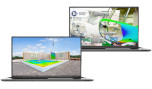
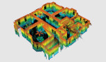
Λάβετε γρήγορα δεδομένα περιουσιακών στοιχείων
Υψηλής ποιότητας έγχρωμα σύννεφα σημείων και καθηλωτική εικόνα 360° με απλή, έξυπνη λειτουργία συσκευής και σύνδεση αισθητήρα με ένα καλώδιο.
Διαδικασία τροχιάς οχήματος
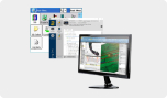
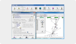
Επεξεργασία δεδομένων τροχιάς με χρήση στενά συνδεδεμένου GNSS και αδρανειακών δεδομένων που είναι ενσωματωμένα στο λογισμικό Trimble Business Center.
Δημοσίευση και συνεργασία
Μοιραστείτε σύννεφα σημείων συνεργασίας και εικόνες με επικαλυμμένα υπάρχοντα δεδομένα στοιχείων. Εξάγετε νέα στοιχεία και αποθηκεύστε τα σε βάσεις δεδομένων.
Παραδοτέα υψηλής ποιότητας
Δημιουργήστε παραδοτέα έρευνας, μηχανικής και GIS χρησιμοποιώντας υπάρχοντα σχήματα δεδομένων και συνδεθείτε με υπάρχουσες βάσεις δεδομένων περιουσιακών στοιχείων.
Το μέλλον της εργασίας σας
Η Trimble διευκολύνει τις υψηλής ποιότητας, παραγωγικές ροές εργασίας και την ανταλλαγή δεδομένων, αυξάνοντας την αξία για μια παγκόσμια, ποικιλόμορφη βάση χρηστών.
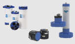
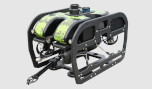
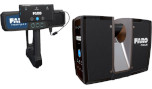
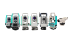
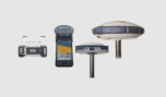
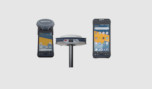
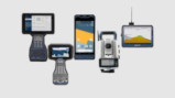
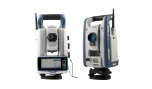
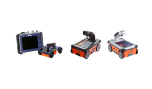
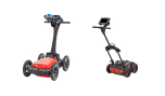
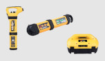
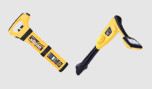
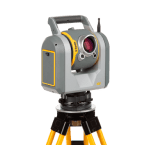
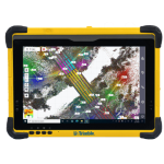
Σχετικά προϊόντα
Δείτε σχετικά προϊόντα από αυτόν τον κατασκευαστή
Ζητήστε προσφορά
Μπορείτε να συμπληρώσετε την παρακάτω φόρμα επικοινωνίας και ένας από τους εκπροσώπους μας θα επικοινωνήσει μαζί σας σύντομα.