


Civil Infrastructure
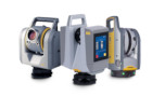
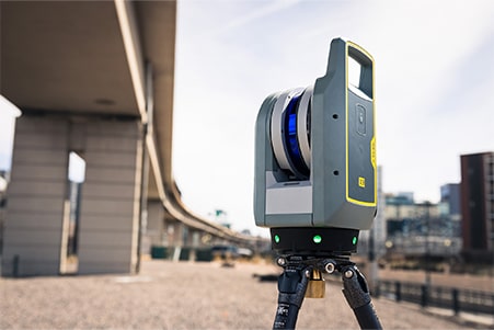
With the Trimble X9, you can create as-built documentation for drawings or models for bridges, tunnels, dams and other civil infrastructure with a range that allows for operation from a safe distance, while the area scan feature provides high-resolution data on areas of interest. Also use it to: Incorporate scan information in clearance calculations, modeling, inspections, renovations, and expansion work. Leverage high-speed data capture and quickly capture area scans to reduce downtime for critical infrastructure projects. Benefit from HDR image quality for visual inspection and sharing of information. Register in the field to verify scan data is complete before importing to Trimble Business Center or Trimble RealWorks at the office.
Cultural Heritage
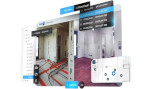
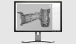
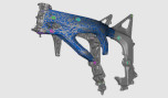
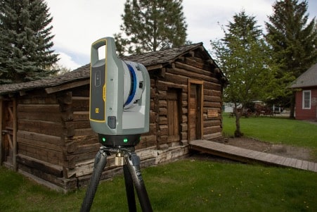
The Trimble X9 helps you plan restoration efforts or simply capture history. Historic preservation projects require great detail to inspect or monitor surface deterioration as well as HDR imagery for documentation, analysis and restoration. Also use it to: Retain important details with high-resolution area scans on points of interest and safely capture inaccessible areas from a distance. Digitally preserve fragile structures for re-creation. Document and share the site with panoramas and clear color imagery. Add annotations in the field with images to highlight critical areas of interest back in the office. Check data quality before leaving the site to eliminate costly and time-consuming field revisit.
Topographic/General Surveys
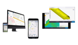
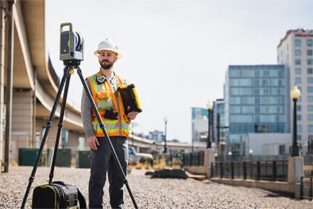
The Trimble X9 quickly captures features for land title surveys, buildings, roads, intersections, site improvements, encroaching elements and complex structures: Document and highlight features or items of interest using annotations. Assign labels to each scan to create logical scan groups and annotations with pictures while scanning the next station. Use auto-classification tools in Trimble’s office software to extract data corresponding to the ground, buildings, powerlines, signs, vegetation, and more. Create as-builts of road corridors, intersections, roadway surfaces, lane striping, flow lines, manholes, right of ways, overhead power lines, and other features.
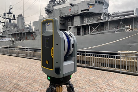
Ship Building Surveys
Whether your ship is at port or in drydock, the Trimble X9 efficiently creates as-builts for new construction, renovation, and optimization. Also use it to: Benefit from high sensitivity to capture dark and reflective surfaces. Capture data of the hull, on deck or in holds with high resolution at sufficient range. Quickly scan ballast tanks in preparation for water treatment systems for retrofit to comply with IMO mandates. Obtain the level of detail needed by the naval architect before the ship leaves port.
