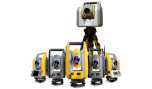
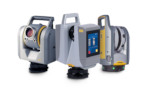

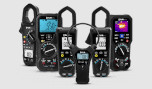


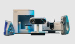

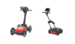
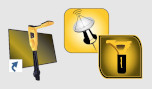


Trimble SiteVision
Outdoor Augmented Reality System
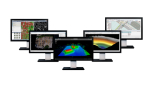
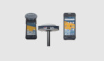
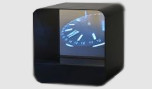
Imagine if you could see things that are hidden or that don’t actually exist yet. With the Trimble® SiteVision™ outdoor augmented reality system you can. SiteVision brings geospatial data to life so you can easily visualize, explore and understand complex information with unrivaled accuracy, right from your mobile device.
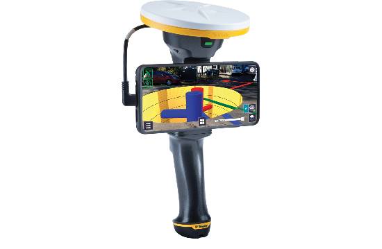
SiteVision unlocks and simplifies the use of geospatial informarion by allowing you to see your data in the real world-from property lines to underground services to conceptual designs-making it the deal tool for public and contractor engagement in planning processes as well as throughout the project lifecycle
With the demand to capture and update geospatial data accurately and reliably, SiteVision helps create efficient deliverables and drive good decisions based on the best information available.
- Replace paint marks and 2D plans with precise visualizations
- Verify and confirm database integrity, improve safety, and enhance awareness on the job site.
- Turn existing GIS data into easy to understant 3D models omplete with attributes for public and contractor engagement
- Check utility location offsets from property boundaries and occupation, or measure the distance between pipes, pylons or valves within your model
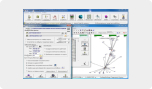
- Supports 2D and 3D data from Esri databases, digital elevation models, .DWG, .SKP and .IFC data formats.
- Promotes citizen engagement and collaboration between government offices. inspectors and public stakeholders with ultimately help save you time and money.
- Delivers real time visualizations of information such as locating emergency services following a disaster, planing a public works project, or protecting and preserving a cultural or heritage site.
- Displays complex government database information as easily understood visualizations so that issues and discrepancies can be quickly identified and reported leading to efficient and confident
- Visualize parcel boundaries in real time in the context of the field environment
- Accurately locate buried monumentation
- Monitor site progress through easy to understand visualizations
- Turn existing geospatial data into easy to undarstant 3D models complete with attributes for public and contractor engagement
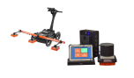
- Works seamlessly with your existing workflows and data supports Trimble, open industry standard, and third-party file types: Trimble Business Center, SketchUp, Esri, AutoCAD
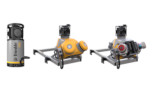
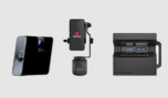
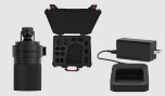
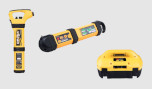
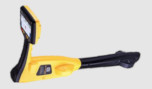
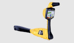
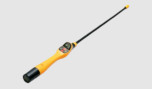
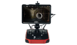
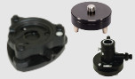
- Centimeter-accuracy GNSS positioning with the Trimble Catalyst™ software-based receiver
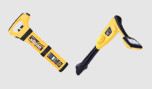
- Remote measurement with an Electronic Distance Measurement (EDM) rangefinder
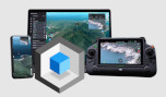
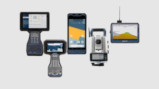
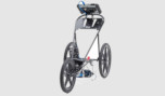
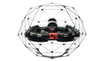
- Flexible design fits user-supplied Android™ version 9 phones (up to 8” screens) and tablets version 9.0 and later that support Google ARCore technology
- Also compatible with iOS version 13 and later devices (iPhone 6s onwards, or iPad 2017 onward) that support Apple ARKit technology
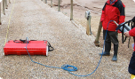
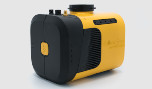
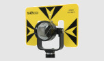
- Waterproof and rugged
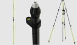
- Works handheld or pole-mounted
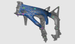
- Automatically place models on site, with centimeter-level accuracy
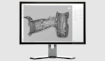
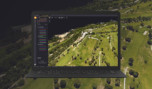
- View fully textured models in 3D, plan view or cross-section
- View any attributes in your model
- Adjust model opacity or cross-section to understand context
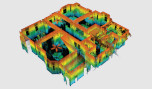
- View subsurface models with PitView
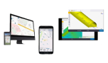
Workflow
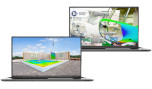
Visualize
Place and view georeferenced 3D models from any angle at true-to-life scale—above or below the ground.
Measure
Measure positions using GNSS, Electronic Distance Measurement, and Augmented Reality to better understand your data on site.
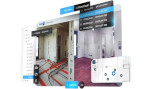
Share
Share, communicate, and collectively interact in real time with easy-to-understand visualizations.
Report
Take photos, record measurements, and make notes in the field. Create and assign tasks to team members.