


FARO® SCENE Software
Interactive & Hybrid Registration
Harness the power of FARO® SCENE Software for seamless 3D point cloud capture, processing, and registration, by FARO. With advanced tools like Interactive Registration and Hybrid Registration, SCENE makes creating accurate, detailed 3D data faster and easier than ever.
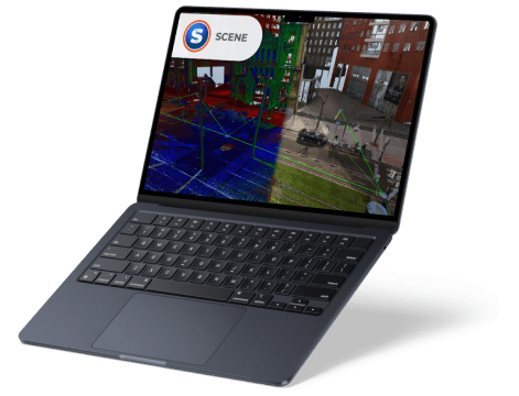
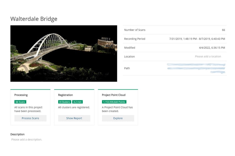
You’ve captured 3D laser scans of a building, documented a crime scene, or preserved a crash site—but now what? FARO SCENE Software is where your raw scan data comes to life. SCENE allows you to process, register, and visualize 3D point clouds with precision, creating stunning, immersive 3D representations of real-world environments. Export your data in multiple formats, or explore it in virtual reality (VR) to experience your scans in a fully interactive, immersive environment.
SCENE also offers two powerful registration tools: Interactive Registration and Hybrid Registration. Interactive Registration gives users a graphical interface to visualize and control how individual scans link together, providing complete manual control. Hybrid Registration combines cloud-to-cloud alignment, target points, and survey control in flexible workflows, either independently or in combination, for unmatched registration accuracy.
The World’s Leading Scene Documentation Software
SCENE is optimized for scans captured with FARO Focus Laser Scanners, the Focus Swift Indoor Mobile Scanner, the Freestyle 2 Handheld Scanner, and compatible third-party scanners. Guided workflows, extended language support, and intuitive automation ensure a minimal learning curve. Optimized hardware usage delivers lightning-fast processing, making SCENE up to three times more efficient than traditional surveying methods.
SCENE Features
- Seamless Connectivity
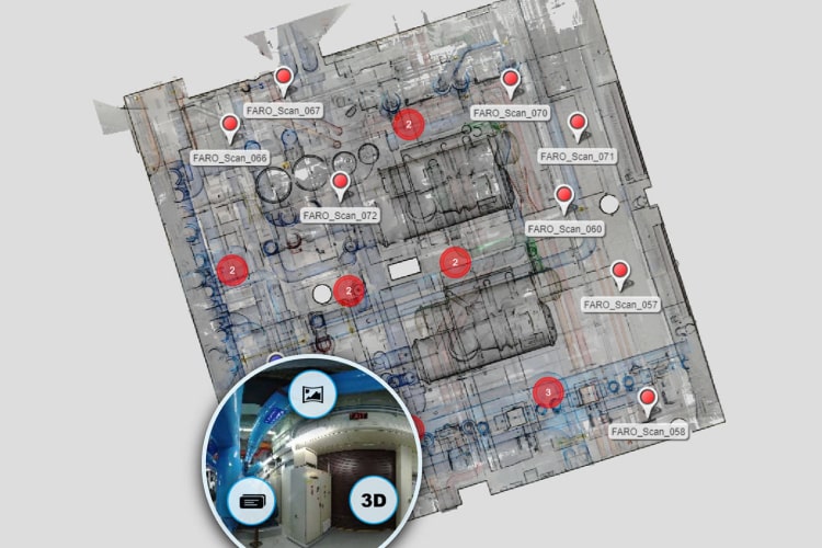
Integrate your scan data effortlessly across the FARO software ecosystem. Transform scans into actionable CAD and BIM workflows with FARO As-Built™ Software, maintain construction quality with BuildIT Construction, or reconstruct, analyze, and diagram forensic scenes with FARO Zone 3D Software. - Interactive Registration
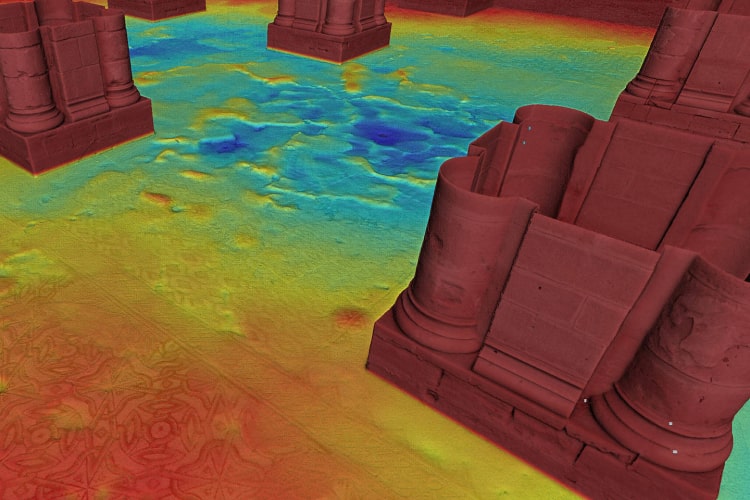
Visualize in real time how SCENE links your point clouds. Use manual tools to refine connections, remove errors, and produce cleaner, more precise data for better final results. - Efficient Data Processing
Clean and optimize your scan data with advanced filtering, color balancing, and processing tools to achieve professional-quality point clouds. - Hybrid Registration
Leverage hybrid registration with the new scan optimizer to accelerate alignment and enhance accuracy, giving you confidence in your registered data. - Sphere XG Integration
Upload and share projects through the Sphere XG cloud platform for centralized collaboration. - SCENE 2go App
Use the portable SCENE 2go App from a USB flash drive to share projects with clients, enabling easy data exploration anytime, anywhere.
Business Value of SCENE Software
- Maximize Your FARO Scanners
SCENE unlocks the full potential of FARO Focus Laser Scanners, Focus Swift, Freestyle 2, and the FARO Orbis Mobile Scanner, enabling powerful visualization, registration, cleaning, and management of scan data. - Only Visit a Site Once
Capture everything you need on the first site visit. Explore the results digitally with stakeholders through panoramic views, 3D fly-throughs, and virtual reality tours. - Share and Collaborate
Secure, web-based collaboration via Sphere XG allows project teams to access and work with scan data anytime, anywhere. - Save Time
Automated processing, filtering, and registration functions provide high-quality digital representations of reality quickly, reducing manual workload. - Work with Confidence
Real-time on-site registration ensures you’ve captured all the necessary data before leaving the site, eliminating costly return visits. - Control Data Quality
Versatile registration and validation tools guarantee your point cloud meets strict tolerances and quality standards. - Intuitive User Feedback
Graphical registration displays help you monitor and refine results, boosting confidence on medium to large scan projects. - Improved Accuracy
Combine cloud-to-cloud, target-based, and survey control registrations individually or in any combination to meet project requirements. - End “Blackbox” Data Silos
Fix registration errors that are often impossible to correct in other software, giving you full control and cleaner, more reliable datasets.
Features
Below, you will find the main features of the product.
Automatic Search
Search for artificial spheres, checkerboards, coded markers or natural references (corner points and planes, etc.).
Immersive Views
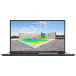
Explore scan data in 2D, 3D and VR, creating an immersive experience when viewing project point clouds of unlimited size in full detail.
Superior Navigation
Navigate in 3D with predefined or customized viewpoints, overview map and user feedback to optimize the data render quality and performance.
Intuitive Data Organization
Handle large projects efficiently with a hierarchical data structure and project history management.
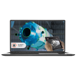
Automatic Scan Coloring
Color scans from high-resolution color photographs or the Laser-HDRTM color option.
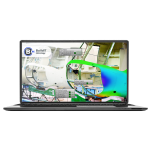
Advanced Expert Tools
Advanced tools enable experienced surveyors to fine-tune SCENE's registration parameters.
Applications
Discover the applications in which the product can be used.
Digital Capture of Forensic Scenes
Improved Safety Planning and Failure Investigation
Fast, Accurate As-built Capture and Modeling
Testimonials
Read what our satisfied customers have to say.
Related Products
See related products from this manufacturer
Get a Quote
You can fill out the contact form below and one of our representatives will contact you shortly.