


SiteScape
LiDAR-enabled 3D scanning for iOS
SiteScape, by FARO, is a LiDAR-powered 3D scanning solution for iOS devices that lets AEC and O\&M professionals capture existing conditions in seconds. On any jobsite, success depends on three key factors: scanning speed, accuracy, and ease of use. Falling short in any of these areas can lead to project delays, misaligned elements, and costly setbacks—but SiteScape keeps all three perfectly in sync.
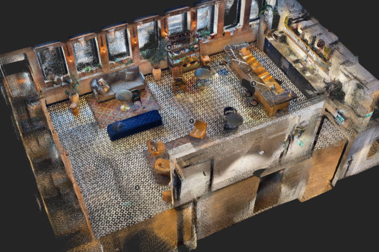
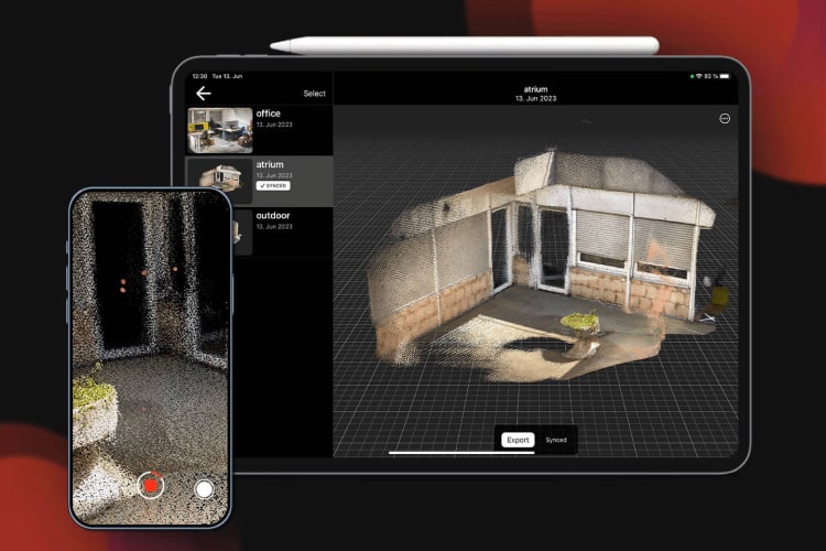
SiteScape, featuring LiDAR-enabled 3D scanning for iOS devices, brings speed, accuracy, and ease-of-use together in one intuitive app. Capture fully scale-accurate 3D scans of buildings, rooms, and spaces as easily as taking a photo or video. Users can generate high-resolution 3D models in real time, convert scans into BIM or CAD formats, make precise measurements, add comments and photo annotations, and share or export models for use in any 3D modeling workflow.
By leveraging LiDAR-equipped mobile devices, SiteScape makes digital capture of indoor spaces effortless, offering an accessible entry point to reality capture for a wide range of AEC and O&M applications.
At the heart of SiteScape’s power is its ability to democratize data—making it instantly available to all project stakeholders and clients. When integrated with FARO Sphere, SiteScape unifies multiple capture methods into a single, centralized environment, combining LiDAR, 360° photos, video, mobile mapping, and terrestrial laser scanning into one cohesive workflow. This ensures teams have access to the most comprehensive reality capture tools on the market.
Whether your goal is to save time, reduce rework, or deliver higher-quality projects, SiteScape empowers workers both on-site and off-site to collaborate seamlessly with full 3D context—making it the fastest, easiest way to achieve smarter, more efficient project outcomes.
Features of SiteScape
- Document, Share, and Troubleshoot On Site
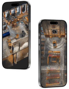
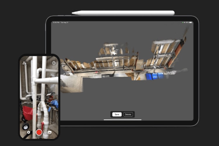
SiteScape leverages the LiDAR sensor in the latest Apple devices to capture high-resolution 3D scans in real time. Users can quickly measure spaces, add comments, and share models with teammates—or export them in multiple formats for use in 3D modeling software such as Revit, streamlining communication and problem-solving on-site. - Photo Annotation
Photo annotations make SiteScape the ultimate inspection tool. Embedded images add visual context to 3D scans, combining precise spatial dimensions with fine-grain detail, including small objects, markings, and readable text—bridging the gap between visuals and measurements. - BIM and CAD Model Conversion
With Order BIM, SiteScape integrates with Integrated Project Technologies’ BIMIT platform to deliver editable, design-ready BIM and CAD files in industry-standard formats—often within one business day. This reduces drafting and modeling time, cuts costs, and accelerates the transition from field capture to actionable design data. - Super Fast Scanning
One-tap scanning enables field engineers to capture spaces quickly, providing an instant understanding of existing conditions. Ideal for retrofit or renovation projects, SiteScape helps teams plan what stays, what is removed, and how new elements will fit, accelerating early project decisions. - Inch-Level Accuracy
Get precise measurements with full context using SiteScape Multi-Scan. Capture building-scale areas up to 5,000 ft² (500 m²) with inch-level accuracy—the app that combines spatial scale and detail for superior insight in every scan.
Business Value of SiteScape
- Deliver Higher-Quality Projects
Bring accurate references into your 3D modeling software to reconcile design plans with existing conditions. Help clients visualize the finished project and make more confident decisions along the way. - Reduce Costs
App-based LiDAR scanning streamlines data capture without the need for expensive hardware, saving money while maximizing project efficiency and resources. - Capture in Seconds
All you need is an iPhone or iPad to scan any object or space. Fast, intuitive scanning accelerates workflows, enabling teams to complete tasks faster and freeing up time to win new business. - Document and Share
Keep BIM models up to date in real time. Capture changes, share them with modelers instantly, and eliminate confusion from static photos, ensuring all stakeholders operate with the latest, most accurate information. - Technology Familiarity
With no custom hardware required, SiteScape is plug-and-play. With over 1 billion iPhone users worldwide, anyone familiar with an iPhone can scan immediately—minimizing the learning curve for specialists and generalists alike and boosting team efficiency.
Features
Below, you will find the main features of the product.
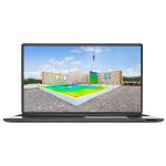
3D As-built documentation
Deliver complete, high-accuracy 3D as-built documentation to clients in a fraction of the traditional time. Save valuable hours onsite, stand out from the competition, and stay ahead of evolving documentation requirements.
Produce record drawings
Connect existing conditions directly with design plans. Modernize as-built documentation, produce accurate digital models faster, and ensure all records remain up to date for seamless project handoff.
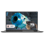
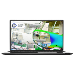
Verify finished projects
Confirm that installations match design intent, documenting MEP and utility spaces with precision. SiteScape ensures every component is in place and accounted for, reducing errors and rework.
Photo Annotation
Combine 3D scans with embedded photos for maximum clarity. Photo annotations provide spatial context, capture fine details, and allow stakeholders to visualize everything from small objects to readable text within the scan.
iOS compatibility
Turn an iPhone or iPad into a powerful 3D scanning tool. SiteScape saves hours on field measurements and reduces costly rework, compatible with iPhone 12-14 Pro, iPhone 12-14 Pro Max, and 2020-2022 iPad Pro models.
Real time 3D LiDAR capture
Scan spaces in seconds and use the data to enhance your CAD design. SiteScape enables fast, scale-accurate 3D capture of buildings, rooms, and interior spaces—ideal for small to medium projects.
Applications
Discover the applications in which the product can be used.
Mobile Scanning
Early Stage Design
Solving On-site Issues
Capturing As-built Conditions
Testimonials
Read what our satisfied customers have to say.
Related Products
See related products from this manufacturer

Get a Quote
You can fill out the contact form below and one of our representatives will contact you shortly.