Fly&Drive
Fly when you can. Drive when you have to.
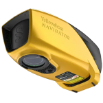
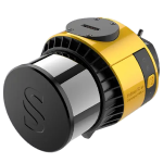
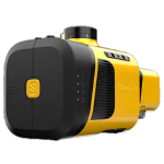
A multi-platform LiDAR for air-to-ground geospatial survey scanning. Fly & Drive, by YellowScan, is a versatile, portable, vehicle- or UAV-mounted mapping system that combines high-resolution laser scanning and precise positioning to collect geo-referenced cloud points.
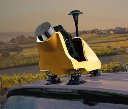
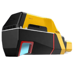
The YellowScan Fly & Drive car pod can be mounted on most ground vehicles. The specially designed mount allows for smooth and quick switching from car cover to any UAV (multicopter, traditional and fixed wing VTOL). Thanks to predefined configurations, go from UAV to mobile mapping in 2 clicks.
This flexibility allows you to expand the scope of your applications (eg vertical elements or no-fly zones), which will increase your return on investment and therefore reduce the payback period of the system.
Basic spects
- Typ. driving speed: 50 km/h
- System accuracy: 2.5 cm
- Maximum range: <200m
A high frequency laser scanner for high density
- The new and improved second-generation Surveyor Ultra incorporates Hesai’s XT32M2X scanner, ideal for high-speed and long-range needs due to its high-density specifications.
Precision positioning using a high-tech GNSS and IMU coupling system
- The YellowScan Surveyor Ultra incorporates the Applanix APX-15 IMU, a high performance direct georeferencing solution for improved performance and accuracy.
Create data in a few clicks
- Manage your pointclouds with our all-in-one software solution. Export, process and display data immediately after the flight.
Make your life easier
- Invest in productivity-enhancing features that will simplify your workflow and give you reliable deliverables for your projects.
Related Products
See related products from this manufacturer
Get a Quote
You can fill out the contact form below and one of our representatives will contact you shortly.


