


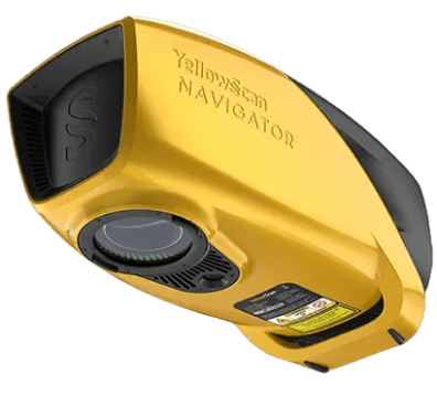
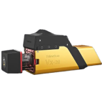
YellowScan Navigator
One button bathymetric LiDAR operation
YellowScan Navigator with bathymetric LiDAR is an innovative solution for exploring underwater and terrestrial topography with one-button operation. Its lightweight design allows for flexible platform selection without compromising water resistance.
The YellowScan Navigator solution features a laser scanner developed by YellowScan’s R&D team over the past few years, with testing beginning in 2023 to refine the system for optimal performance. This development underscores their commitment to innovation and quality, particularly in the development of advanced laser scanners.
44° FOV for high accuracy
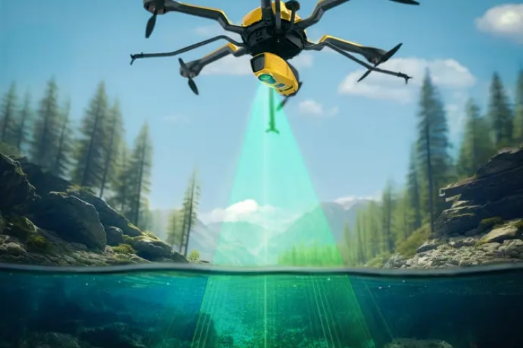
Our depth-finding system, with a 44-degree field of view, prioritizes accuracy over a wider angle. This decision is based on the fact that 44° is the maximum angle for effective performance of a green laser underwater. Beyond this angle, the laser’s penetration depth in water is significantly affected, limiting the system’s overall performance.
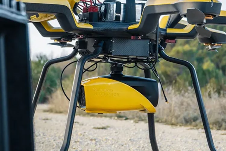
Compatibility with multiple platforms
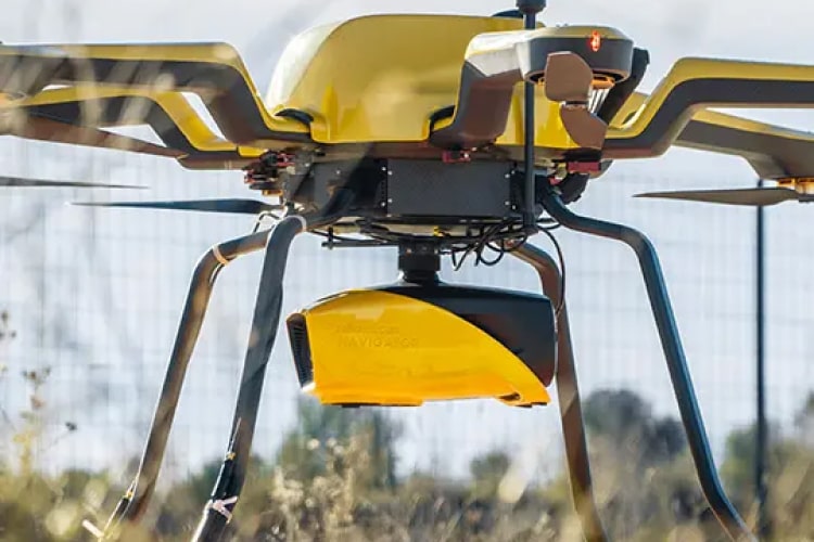
- The system can be used on multi-rotor UAVs or helicopters. As for drones, the GREMSY “quick-release” mount allows for easy installation on a wide range of drones.
Key facts
- Altitude AGL: Till 100m
- System accuracy: 3cm
- Weight: 3.7 kg (excluding battery weight)
Advanced calibration
- All YellowScan systems come with a calibration certificate.
Features
Below, you will find the main features of the product.
Simultaneous soil/water survey
The YellowScan Bathymetric system is designed to conduct bathymetric measurements in shallow water and can be rapidly deployed on UAVs. This full-waveform LiDAR system ensures continuity between underwater points and the surrounding terrain.
High autonomy for maximum performance
Optimize your bathymetric survey operations with the YellowScan LiDAR system, providing 45 minutes of battery life on a single battery charge for extended underwater data collection in a variety of marine settings.
Different aquatic environments
Intended for aerial use on drones, the system covers various water areas such as coasts, rivers, lakes, estuaries and lakes. Navigator is user-friendly and adaptable for a wide range of applications, from hydrographic surveys to underwater resource management.
Applications
Discover the applications for which this product can be used.
Underwater spot correction
Automated water classification
Automated water surface detection
Related Products
See related products from this manufacturer
Get a Quote
You can fill out the contact form below and one of our representatives will contact you shortly.