Trimble MX90
Achieve new levels of productivity.
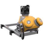
The Trimble® MX90 system by Trimble is part of a complete field-to-finish mobile mapping solution that combines leading-edge hardware with intuitive field software and an integrated office software workflow.
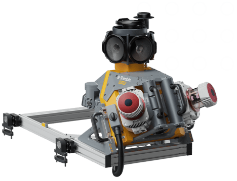
Capture immersive scans and images at highway speeds. Leverage your large-scale mobile mapping projects with the Trimble MX90, which delivers unmatched GNSS performance in challenging urban and rural environments from the Trimble ProPoint® engine.
Premium, powerful mobile mapping solution:
State-of-the-art GNSS and inertial technology, easy to install and simple to operate. With leading-edge image and LiDAR capabilities and intuitive field software.
Produce and share robust deliverables efficiently:
Capture, process, extract and share high density point clouds and rich, immersive imagery to produce meaningful deliverables. Discover new productivity levels leveraging the complete Trimble field-to-finish workflow.
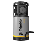
The Trimble MX90 captures rich data for modeling and high-density point clouds, ideal for large survey and engineering projects. Trimble MX90 for large-scale scanning and mapping missions, offers:
- Weight:
Sensor unit 37 kg - IP rating:
Sensor unit IP64 - Spherical camera:
72 MP (6 X 12 MP) - Planar cameras:
2 X 12 MP side facing, 1 X 12 MP backward/downward facing - Laser effective measurement rate:
Up to 3.6 MHz - Scan speed:
500 scan/sec - Embedded Trimble GNSS-inertial system:
Trimble field-to-finish workflow
Features
Below, you will find the main features of the product.
Combine GNSS & inertial data
Trajectory data processing using tightly coupled GNSS and inertial data incorporated into Trimble Business Center software.
High quality deliverables
Create, inspect and analyze high quality survey, engineering CAD and GIS deliverables, by leveraging the data fusion capabilities of Trimble Business Center.
Varied Applications
Trimble transforms data into real-world intelligence using the most progressive, reliable and accurate precision technology to meet needs of varied applications.
Quickly obtain geospatial data
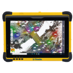
Control data acquisition with any smart device and easily adjust the lasers and oblique camera for the best orientation.
Publish & collaborate
Avoid site revisits by sharing for-collaboration point clouds and images with overlaid existing asset data.
The future of your work
Trimble facilitates high quality, productive workflows and data exchange, driving value for a global, diverse user base.
Multimedia
Below you will find all available multimedia, including videos & images.
Related Products
See related products from this manufacturer
Get a Quote
You can fill out the contact form below and one of our representatives will contact you shortly.


