


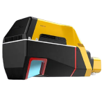
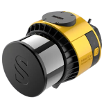
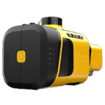
Vx15 Series
Made for adventure enthusiasts
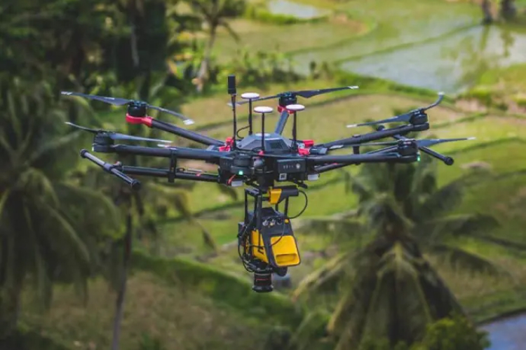
With the Vx15 Series from YellowScan, you can map everything from inaccessible locations in the mountains of Bali to remote areas in Chile.
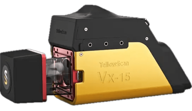
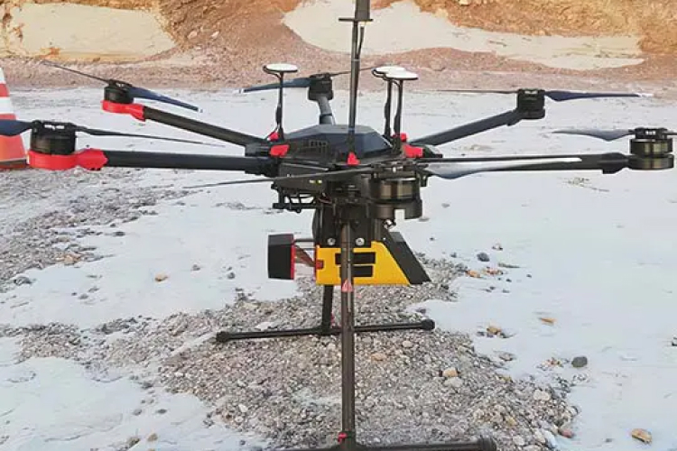
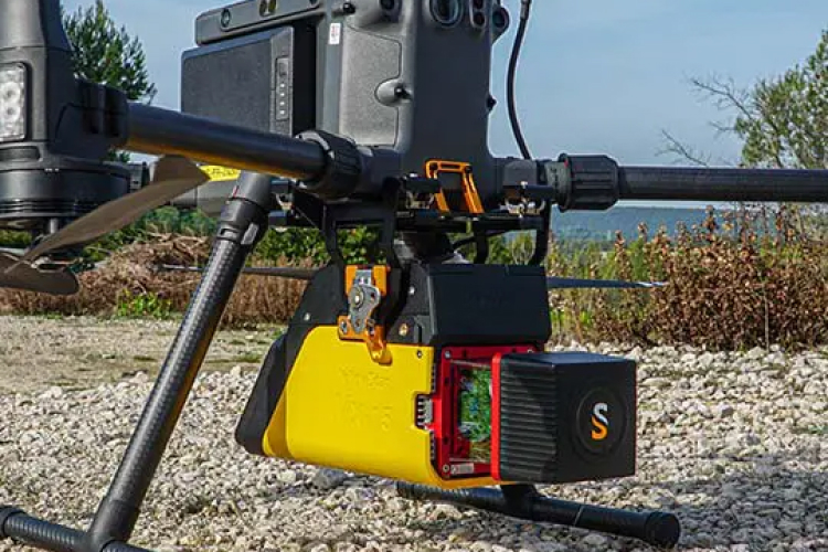
The light weight of the YellowScan Vx15 series allows you to easily mount it on a variety of UAVs: multi-rotor drones, fixed-wings or helicopters.
- The lightest system in the Vx series, with a 360° field of view
- Single-board GNSS inertial solution
- Calibrated intensity value
Key facts
- AGL Altitude: 100m
- System accuracy: 1cm
- Weight: 2.4 kg (excluding battery weight)
Increased productivity
- The Vx15 series is the ideal solution for high-performance projects with fast data processing requirements.
Suitable for a wide variety of applications
- Ideally suited for applications that require clear and precise descriptions, such as in the field of civil engineering.
Customize your system
-
Choose the laser scanner that best suits your needs:
-
Vx15-100 (Scanner: RIEGL miniVUX-1UAV Laser pulse: 100 kHz)
-
Vx15-300 (Scanner: RIEGL miniVUX-3UAV Laser pulse: 100 kHz/200 kHz/300 kHz)
-
Create data with just a few clicks
- Manage your point clouds with YellowScan’s all-in-one software solution. Export, process, and view data immediately after the flight.
Make your life easier
- Invest in productivity-enhancing features that will streamline your workflow and ensure reliable project deliverables.
Related Products
See related products from this manufacturer
Get a Quote
You can fill out the contact form below and one of our representatives will contact you shortly.