Trimble Access
Designed to support the way surveyors work
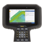
A leading field software used by professional surveyors around the world, Trimble Access software, by Trimble Geospatial, delivers functionality that supports efficiency, accuracy and ease of use with simplified workflows.
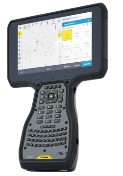
Digital construction workflows, interoperability and field-to-office enhancements. Trimble Access supports everyday survey workflows by providing greater flexibility and efficiency as you work.
Intuitive design simplifies field work
An optimized digital solution for survey workflows, enabling easier data collection, processing and analysis for field-to-office efficiency.
Powerful integration, convenient automation
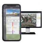
Combine optical, scanning and GNSS job data sources. Automate tasks such as data synching and streamline the transfer of data between platforms.
With lower upfront costs, Trimble’s subscription plans allow you to use and scale your licenses flexibly while you benefit from the latest updates. Trimble Access complete surveying solution for digital workflows, offers:
Powerful COGO routines:
Convenient one-tap feature codingIntegrate with BIM models:
View & use IFC and TrimBIM filesTrimble Maps:
Up-to-date background maps help identify key features near a survey markHorizontal tilt offset:
Measure hard-to-reach locationsUnderground utility locator:
Locate buried assetsSplit screen map & form layout:
Interact with map & form fields
Features
Below, you will find the main features of the product.
BIM file formats supported
View, Review and Stake from IFC models, storing BIM attributes with as-staked points.
Scheduled data syncs
Save time with AutoSync by automatically uploading job data to the cloud at a convenient time.
Linework & symbols shown in map
Feature coded linework and symbols shown on the map making features visible as you work.
Seamless field-to-office workflow
Control codes align with Trimble Business Center software for streamlined data management.
The future of your work
Trimble facilitates high quality, productive workflows and data exchange, driving value for a global, diverse user base.
Varied Applications
Trimble transforms data into real-world intelligence using the most progressive, reliable and accurate precision technology to meet needs of varied applications.
Applications
Discover the applications in which the product can be used.
Roads
Monitoring
Pipelines
SDK
Mines
Tunnels
Rail
Mobile Inspector Measure Service
Multimedia
Below you will find all available multimedia, including videos & images.
Related Products
See related products from this manufacturer
Get a Quote
You can fill out the contact form below and one of our representatives will contact you shortly.


