


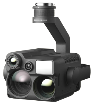
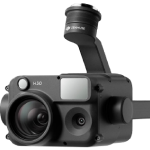
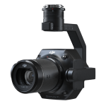
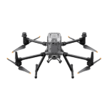
Zenmuse H20N
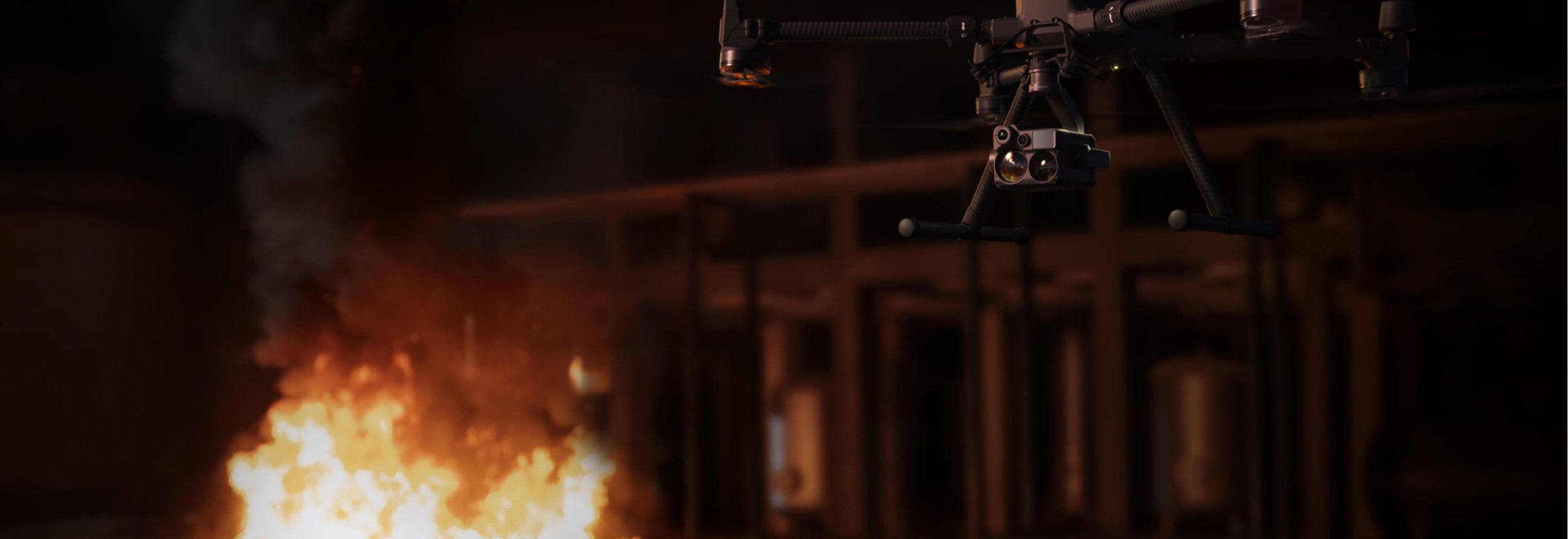
Vision Beyond Darkness
“N” for Night Vision. The Zenmuse H20N integrates starlight sensors into its zoom and wide-angle cameras. Pair this with dual zoom thermal cameras and a laser rangefinder, and you have a versatile hybrid payload that rises to the occasion.

The Zenmuse H20N integrates starlight sensors into its zoom and wide-angle cameras. Pair this with dual zoom thermal cameras and a laser rangefinder, and you have a versatile hybrid payload that rises to the occasion.
See Through the Night
The zoom and wide-angle cameras are equipped with starlight sensors that are tailor-made for low-light environments.
Synchronized Split-screen Zoom
H20N supports synchronized zoom between thermal and starlight night vision cameras. Users can scale both images at the same time. This doubles efficiency and makes it easier to compare details side by side.
Sensors Upgraded Across Multiple Dimensions
- Dual Thermal Cameras
Resolution: 640×512
2x Zoom (Equivalent Focal Length: 53 mm)
8x Zoom (Equivalent Focal Length: 196 mm) - Night Vision Wide Camera
Starlight Sensor: 2MP
Stronger Low-Light Performance - Night Vision Zoom Camera
Starlight Sensor: 4MP
20× Optical Zoom, 128× Max Zoom
Low-Light Details - Laser Rangefinder
Range: 3 m to 1200 m
Accuracy: ± (0.2 m + D×0.15%)
Thermal and Starlight Vision to Elevate Your Operations
- Starlight Night Vision
- 640×512 Dual Thermal Cameras 2×, 8× Optical Zoom
- 20× Hybrid Optical Zoom
- Laser Rangefinder 1200 m Max Range
- Synchronized Split-screen Zoom
- Intelligent Night Scene Enhancement
- IP44 Rating
- -20°C to 50°C Operating Temperature
Features
Below, you will find the main features of the product.
Temp. Alarm
Receive instant notifications in DJI Pilot when object temperatures exceed your preset alert values.
Color Palettes
Adjust the colors applied to the thermal data based on the mission requirements.
Isotherms
Visualize a specific band of temperatures to highlight your targets.
R-JPEG Images
Images captured by the Zenmuse H20N are in R-JPEG format with embedded temperature information. By importing these images into the DJI Thermal Analysis Tool, you can measure temperature, and adjust parameters such as Emissivity, and Reflected Temp.
Gain Modes
Adjust gain modes to change the temperature range captured: High Gain Mode covers a smaller temperature range but is more sensitive to temperature differences; Low Gain Mode covers a wider temperature range.
Infrared Zoom
Two thermal cameras respectively provide 2× and 8× zoom, together enabling up to 32× zoom. Find hotspots and inspect in close detail after zoom-in.
Applications
Discover the applications in which the product can be used.
Public security
Electricity
Oil and natural gas
Multimedia
Below you will find all available multimedia, including videos & images.
Related Products
See related products from this manufacturer
Get a Quote
You can fill out the contact form below and one of our representatives will contact you shortly.