Applanix POSPac MMS
A start-to-finish workflow for direct georeferencing.
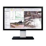
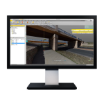
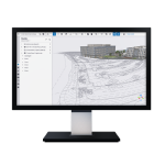
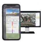
Applanix POSPac MMS (Mobile Mapping) office software, by Trimble, with postprocessed Trimble® CenterPoint® RTX, is an industry leading GNSS-aided inertial software for direct georeferencing of data collected from multiple types of sensors on mobile platforms.
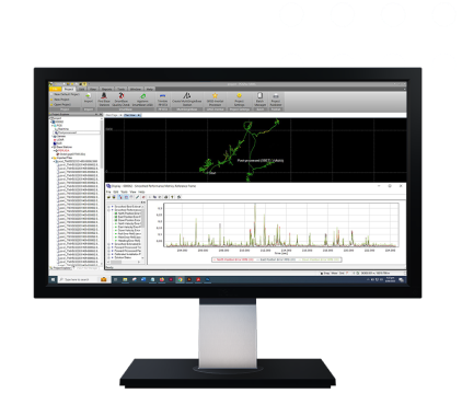
Applanix POSPac MMS (Mobile Mapping) office software, with postprocessed Trimble® CenterPoint® RTX, is an industry leading GNSS-aided inertial software for direct georeferencing of data collected from multiple types of sensors on mobile platforms.
Applanix POSPac MMS the GNSS-aided inertial postprocessing, offers:
Operating System:
Windows 10 supportProcessor:
64-bit processingLicense:
Floating license supportAutomatic base station survey:
Static PP-RTX
Features
Below, you will find the main features of the product.
With a single GNSS base station
Easily process trajectories with single or multiple GNSS base stations.
Work online or offline
License checkout capability for offline field jobs support.
Do more with Trimble technology
Achieve high accuracy with Applanix SmartBase and IN-Fusion technology.
Obtain cm-level accuracy
Achieve centimeter-level accuracy without reference stations using postprocessed Trimble CenterPoint RTX data for open sky applications.
Varied Applications
Trimble transforms data into real-world intelligence using the most progressive, reliable and accurate precision technology to meet needs of varied applications.
The future of your work
Trimble facilitates high quality, productive workflows and data exchange, driving value for a global, diverse user base.
Multimedia
Below you will find all available multimedia, including videos & images.
Related Products
See related products from this manufacturer
Get a Quote
You can fill out the contact form below and one of our representatives will contact you shortly.
